BIENVENIDO AL HOSTAL SAN JUAN**
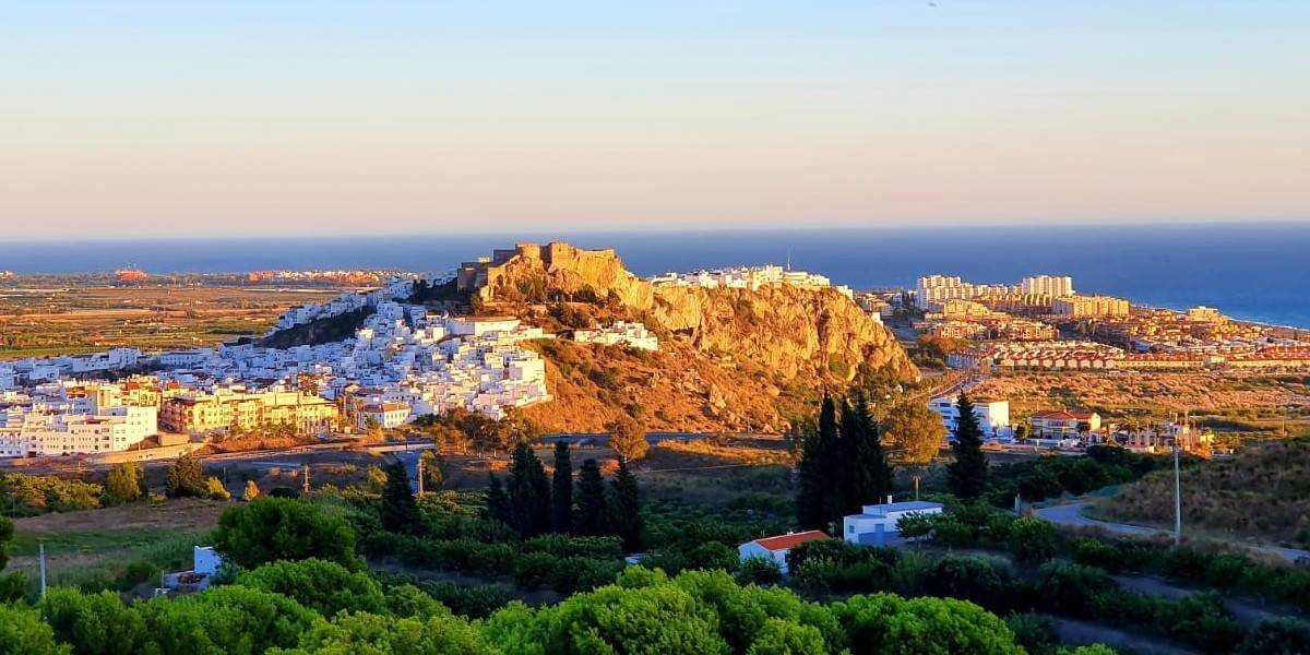
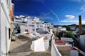
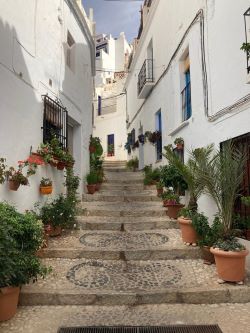
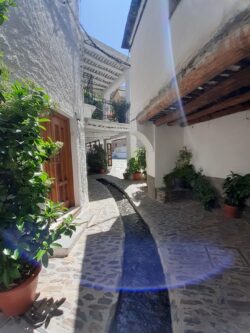
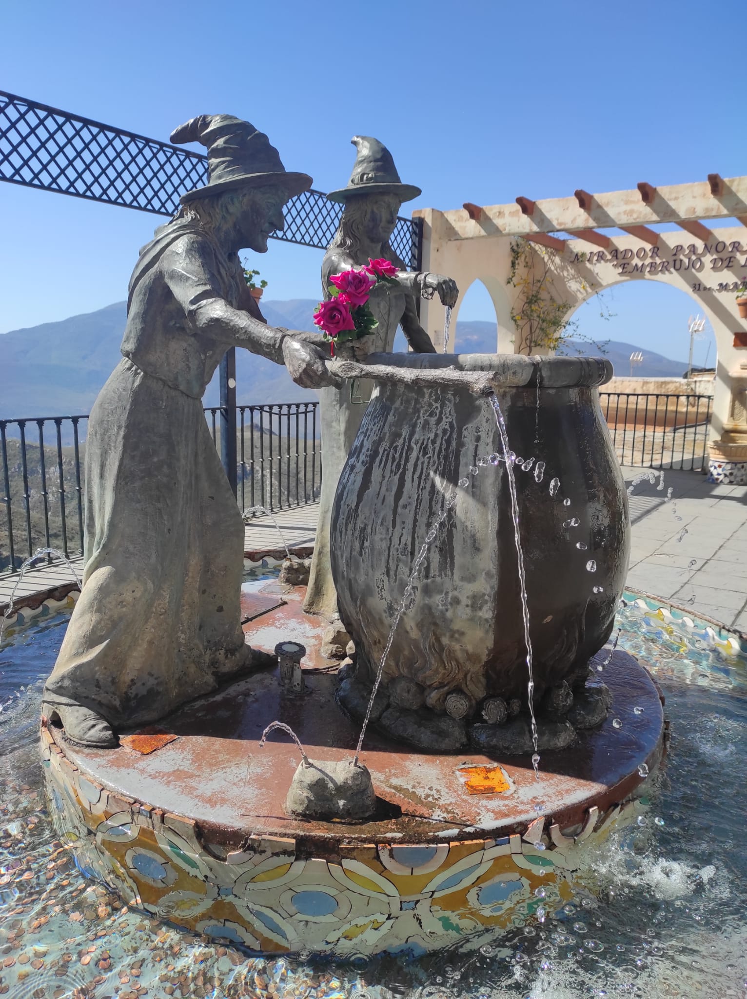
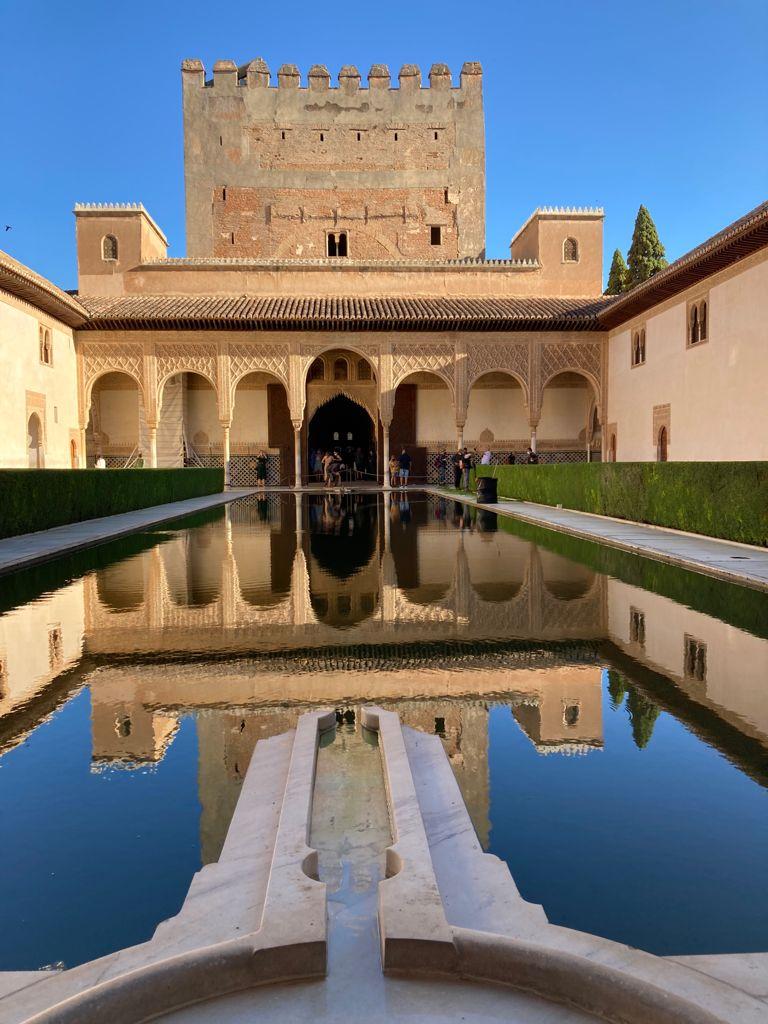
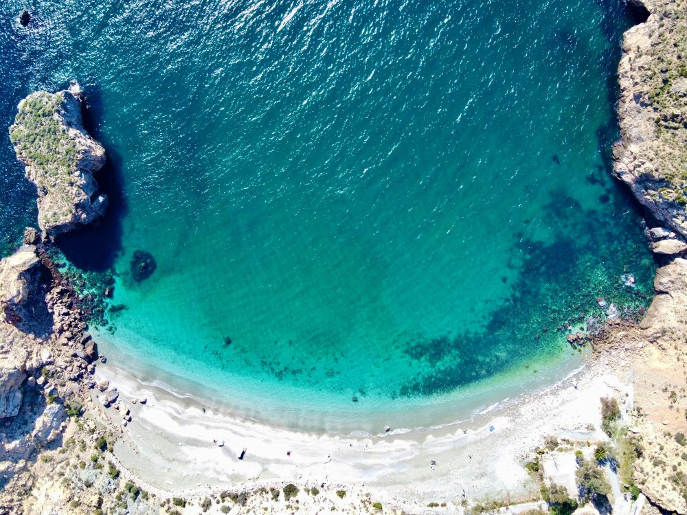
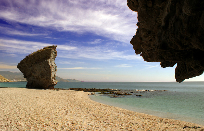
SALOBREÑA
Pueblo blanco del Costa Tropical, junto al mar Mediterráneo y las montañas de Sierra Nevada.
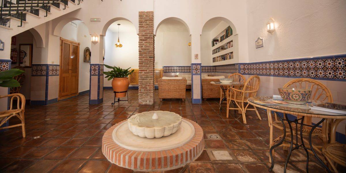
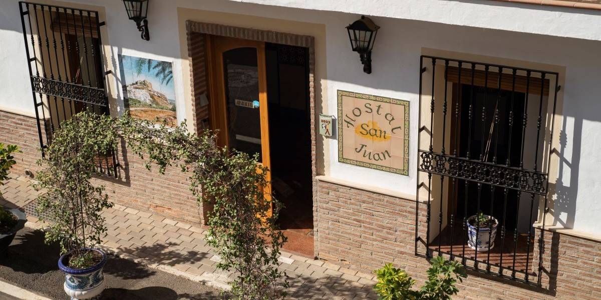

BIENVENIDO AL HOSTAL SAN JUAN**
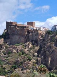
El Hostal San Juan está situado en el corazón de Salobreña, pueblo blanco del sur de España junto al Mar Mediterráneo. Salobreña conserva su carácter histórico, conserva la esencia de su etapa árabe reflejada en sus callejuelas, casas encaladas y su Castillo árabe que preside el pueblo y desde el que se puede disfrutar de unas vistas inmejorables: el mar y Sierra Nevada.
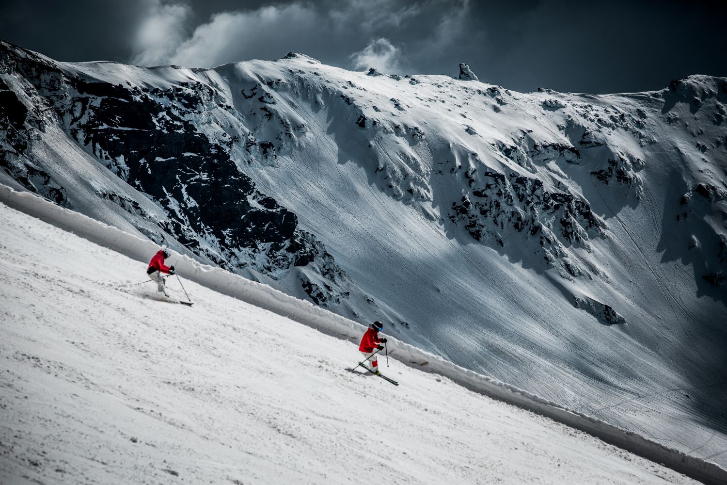
Desde el Hostal San Juan, podrá acceder fácilmente a Málaga, Granada y Almería. Está situado a 60 km de Granada, a sólo 75 km de Sierra Nevada y en conexión perfecta con el aeropuerto internacional y ciudad de Málaga.
El microclima de Salobreña permite de disfrutar del sol y la luz durante todo el año y degustar todos los frutos tropicales, productos de alta calidad de nuestro mar y de toda la excelente gastronomía española que ofrece esta tierra.


HABITACIONES & ESTUDIOS
Ofrecemos habitaciones interiores y exteriores, con cama de matrimonio o dos camas individuales. Cada habitación dispone de su baño privado, con plato de ducha o bañera.
Las habitaciones poseen calidad óptima: camas cuidadas, confort acústico, televisión satélite, armario, mini bar, aire acondicionado en verano y radiadores en invierno, wi-fi gratuito etc….
También disponemos de dos estudios en la terraza en la segunda planta para estancias mínimas de 7 días. Cada estudio dispone de un rincón de cocina con microondas, placa eléctrica, hervidor, tostadora, nevera y los utensilios de cocina básicos.
Las habitaciones y los estudios están adaptados para 2 personas máximo.


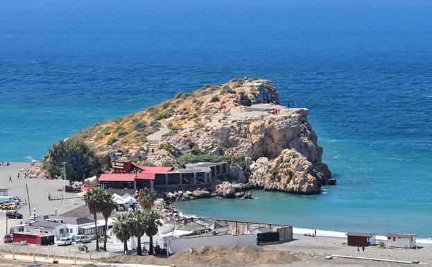
SALOBREÑA Y ALREDEDORES
MOTO & BIKE FRIENDLY


Foto: Andalucia Turismo
Salobreña se encuentra en un sitio perfecto para recorrer Andalucía en moto o en bicicleta. A solo 1 hora de grandes ciudades como Málaga, Almería y Granada, ofrece también un acceso cercano a Sierra Nevada y alrededores.
Disfrutas de carreteras con los paisajes más espectaculares de Andalucía: as playas hermosas y montañas inescrutables, así como los pueblos blancos de la Costa Tropical y Sierra Granadina.
Para todos nuestros clientes disponemos de un aparcamiento donde pueden almacenar, arreglar y limpiar su bicicleta o su moto.
Buscas una idea de tu próximo viaje ?
SOBRE NOSOTROS
TRIPADVISOR
 Nos encantó su amabilidad,su trato. Está montado con mucho gusto.El padre y la madre son maravillosos.El hijo y su esposa super atentos.
Súper recomendable.Nos quedamos 4 días con ganar de... read more

Y si duda volveremos! Estuvimos hace 5 años y hemos vuelto. Nos hemos llevado un fantástico recuerdo, como la primera vez. El trato del dueño, cercano, simpatico, amable. El hostal... read more
 Muy agradable la estancia en este hostal, muy acogedor, todo muy cuidado (se agradece la cremita de aloe vera para después del sol, nevera etc), dueños muy amables, baño amplio,... read more
El hostal está ambientado en un patio típico Andaluz que crea un ambiente tranquilo, romántico y agradable.
Las habitaciones muy limpias y tranquilas.
El trato de los dueños es... read more
COMPROMISO DE CALIDAD TURÍSTICA
El Hostal San Juan es el primer hostal de la Costa Tropical de Granada en conseguir el distintivo “Compromiso de Calidad Turística” que acredita nuestro compromiso con la calidad y la mejora continua según los criterios #SICTED.
Promovido por la Secretaria de Estado de Turismo #SETUR, los distintivos fueron entregados a Ayuntamiento de Salobreña y Oficina de turismo en FITUR24.
SICTED es un proyecto de mejora de la calidad de los destinos turísticos promovido por la Secretaría de Estado de Turismo (SETUR).


